After the boss tells us where to go, pilots use a combination of maps and visual landmarks, radio aids, GPS, and aircraft technology to navigate.
The Old Fashioned Way Still Works
Early pilot jobs were as airmail pilots. Many of our legacy airlines today, such as American Airlines and United Airlines, can trace their roots to airmail operations.
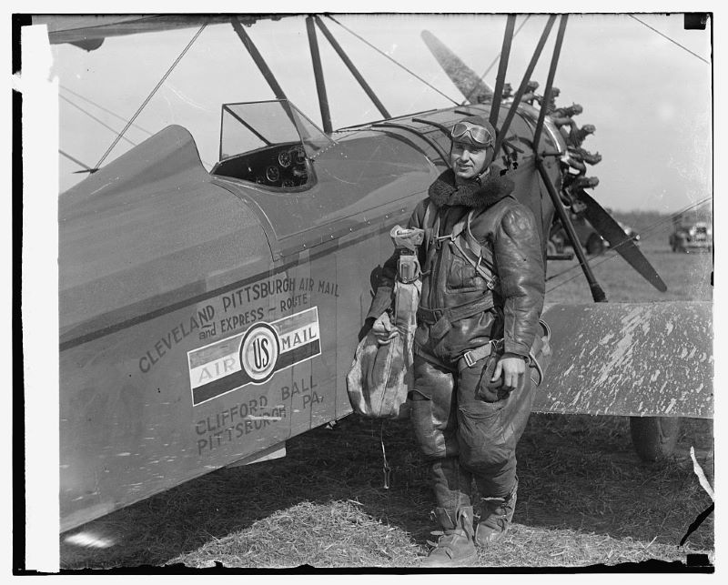
Pilots navigated visually using known landmarks such as rivers, roads, terrain, and railroads. In fact, early pilots referred to railroads as the “iron compass.” This type of navigation is called “pilotage.”
Following a railroad or river is not the most efficient way to fly. Railroads curve and go around the terrain. After all, one of the best things about flying is going directly from point to point, flying over the terrain and water, and getting to the destination faster.
Pilots figured out how to fly directly from one point to another by drawing a line on a chart and calculating a magnetic heading to fly. Pilots can follow that heading on their magnetic compass in the aircraft instead of following a railroad or river.
Once pilots know the winds, we can accurately navigate from point to point. This type of navigation is called “dead reckoning.” Pilots joke that if you reckon wrong, then you are dead.
Pilotage and dead reckoning are still taught to student pilots today. Student pilots must demonstrate the use of charts and plan and fly trips called “cross countries” before getting a pilot’s license. Although today’s student pilots have it a little easier than the old airmail pilots as they have charts on iPads with a built-in GPS.
To navigate using pilotage and dead reckoning, pilots do need decent weather so we can see where we are going. This type of flying is called “visual flight rules,” or VFR.
Navigating visually in good weather is limiting for commercial operations. Early airways and routes were enhanced with bonfires and lighted beacons to assist airmail pilots in finding their way at night or in reduced visibility.
How do pilots see at night?


Flying at night is more complicated and has unique challenges. Several optical illusions can trick us at night and mess with our senses. Pilots must undergo night training for a pilot’s license with night flying privileges.
Pilots must be more careful and consider where they go, like driving at night. Pilots have to choose landmarks much more wisely. Unlighted roads, railroads, and small rivers and lakes cannot be seen at night.
The United States is one of the few places that allows recreational or private pilots to fly at night. Pilots must possess an instrument rating (discussed below) in most other countries to fly visually at night.
At the airlines, for the most part, pilots are only allowed to fly approaches visually at night if their landing is backed up by an instrument approach.
How do pilots fly in the clouds?
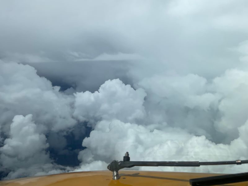
Pilots use aircraft instruments such as artificial horizons, heading references, and airspeed indicators to fly the aircraft when they can’t see the ground. Flying by reference to instruments is referred to as IFR or “instrument flight rules.”
The technique of flying solely by reference to flight instruments started development early on in aviation. In the late 1920s, Jimmy Doolittle took off, flew a pattern, and landed with his airplane windows obstructed.
Flying IFR requires special training and an additional instrument pilot rating. It is tricky to fly with instruments because the human body is not designed to fly, and it is easy to get disorientated when we can’t see.
To navigate without being able to visually see landmarks, ground-based radio beacons were installed around the country in the earlier days of aviation. Pilots navigate using a radio receiver in the aircraft with a needle that points at the radio station. Airways were charted from beacon to beacon.
Early radio beacons were AM radio stations. They are called NDBs. With technology developed during World War Two, beacons and airways were expanded and enhanced with VHF stations called VORs (VHF Omnidirectional Range Radio Beacons.)
Pilots still use these radio beacons and airways today. However, like railroads and rivers, the airway and VOR network is not direct from point to point. Pilots have to fly from one radio beacon to another.
Onboard area navigation systems called RNAV were developed that allowed direct point-to-point navigation. These airplane systems tune multiple radio beacons, triangulate the aircraft’s position, and let pilots fly a direct route. An electronic version of the dead reckoning mentioned above.
With the advent of GPS, RNAV systems are now very accurate and rarely use radio beacons as a primary position source. In fact, radio beacons are slowly being phased out of service. In addition, with modern aircraft avionics and big flat screens in the flight deck, the aircraft’s route and position are shown in real time on a moving map, making navigation easy. Pilots follow the line plotted on a map. Easy peasy lemon squeezy.
How do pilots takeoff and land in bad weather?
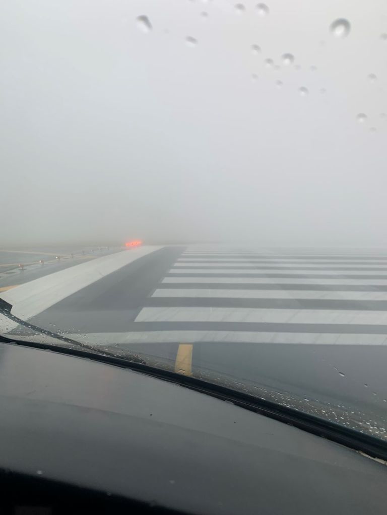
Taking off and landing in bad weather requires the same instrument rating to fly in the clouds. Pilots must use their onboard flight instruments to take off.
To land in lousy weather, pilots use charted instrument approach procedures that use radio aids or GPS. The onboard instruments provide lateral and vertical guidance to descend us down the runway safely. Most of the time, at major airports, pilots use an ILS approach. The instrument approach chart specifies how low we can fly.
The FAA also limits our takeoff and landing minima. They will specify the lowest visibility we can have for takeoff and landing. The minimum visibility depends upon the airport lights and markings available, the experience of the pilots, the type of approaches available, and the equipment installed at the airport.
Pilots will tell you taking off and landing in low visibility conditions is intense. There is almost no margin for error. The control tower cannot visually see the airplanes, and the aircraft cannot see one another.
Do pilots still use paper maps?
No. Not much anymore. Pilots now use electronic flight bags or EFBs. All of their charts are on a tablet device.
These apps and devices are more powerful than just having a paper chart. The device can display its location on the chart. This is called “own ship.” Charts and routes can be overplayed with a weather briefing. In aircraft with WIFI, the weather can be relatively up-to-date.
Do pilots get lost?
If a pilot is honest, they will tell you they have been lost at least once. As a pilot, I know I have been.
I remember a time I got lost as a young flight instructor with a student onboard. I remember it because it was an extremely embarrassing day.
The student and I flew to a less populated area to practice some prescribed maneuvers. When the lesson was over, and it was time to head back to the airport, I had no idea where I was!
What did I ultimately do? CONFESS. After taking a considerable swallow of my pride, I called air traffic control on a common frequency and asked for help.
Air traffic control found me on their radar pretty effortlessly and gave me a heading to fly to get back to base. You will not get in trouble for asking for help. The Chief Pilot even congratulated me on a job well done.

Leave a comment